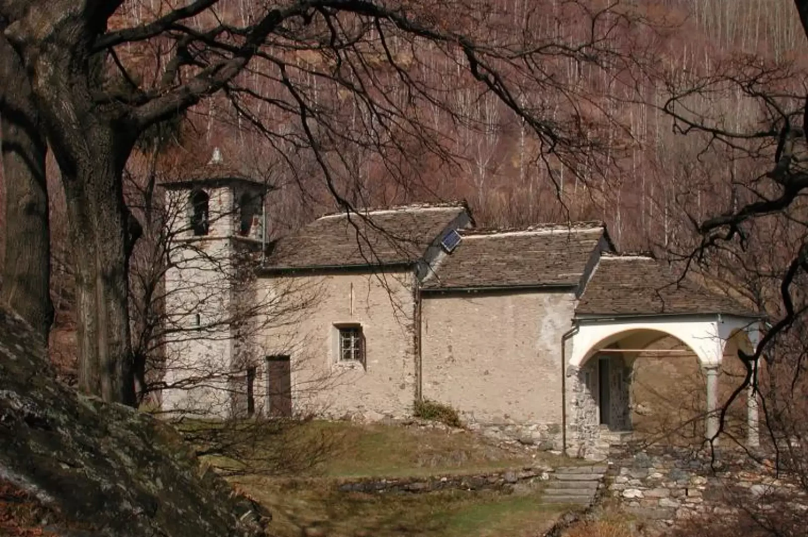
Vercio Hermitage, from Bracchio

Edited by:
Maria Grazia Schiapparelli
Updated at: 29/07/2026
Access
Road directions
Leave the [A26] motorway at the Verbania exit and follow the slip road for 280m (280m). Join the (Lake Maggiore road) and continue for 350m (630m), then turn left at Pratomichelaccio and continue for 2.6km (3.2km). Continue along Via Leonardo da Vinci for 650m (3.9km), keep right towards Via Sempione and follow this road for 250m (4.1km). Turn left onto Via Bracchio and head uphill towards the hamlet for 1.5 km (5.6 km), until the road bends to the right and becomes Via Zanotti.
Car park
The Bracchio car park 🅿️ is situated along Via Bracchio, on the left-hand side as you go uphill, before the hamlet centre. Parking is free and the car park has 25 spaces. The footpaths to Alpe Vercio and Mount Faiè branch off near the church, at the end of Via Bracchio.
Access by public transport
To reach the starting point of the route, you will need a private vehicle, as the village is not served by public transport.
Distance and journey time
🕒 Journey time: 11 minutes
📏 Distance: 5.9 km
GPS navigation
📍 How to get there with Google Maps
📍 How to get there using Apple Maps
Important information
The directions provided were verified on the date the route was mapped. Before setting off, we recommend checking for any changes to the route or road conditions. For up-to-date information, please consult Google Maps or Apple Maps.
Introduction
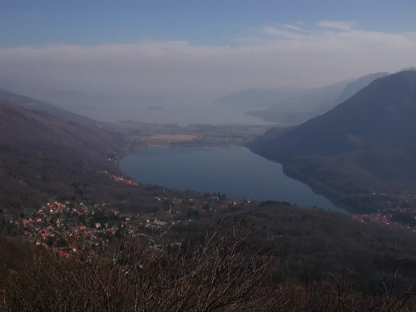
This simple walk, although it can be done at any time of theyear, is best suited to times such as now, when there is still snow in the mountains, to spring when the hills are in full bloom (in May, azaleas and rhododendrons are in bloom in Vercio) and to the beautiful colours of autumn; the view over Lakes Maggiore and Mergozzo will accompany us throughout the walk.
Description
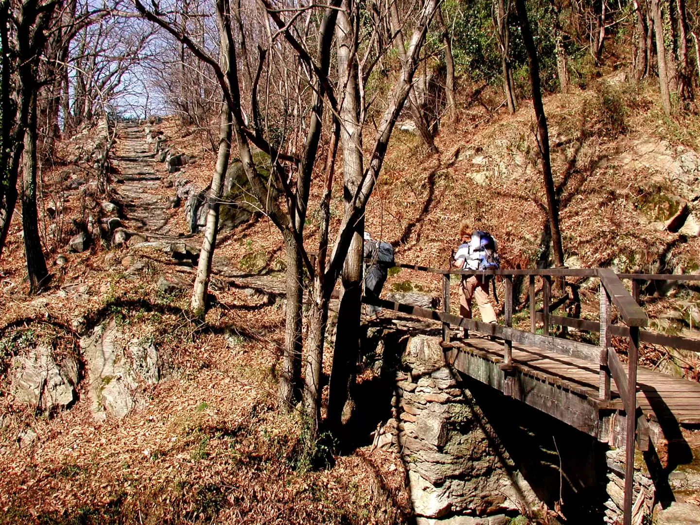
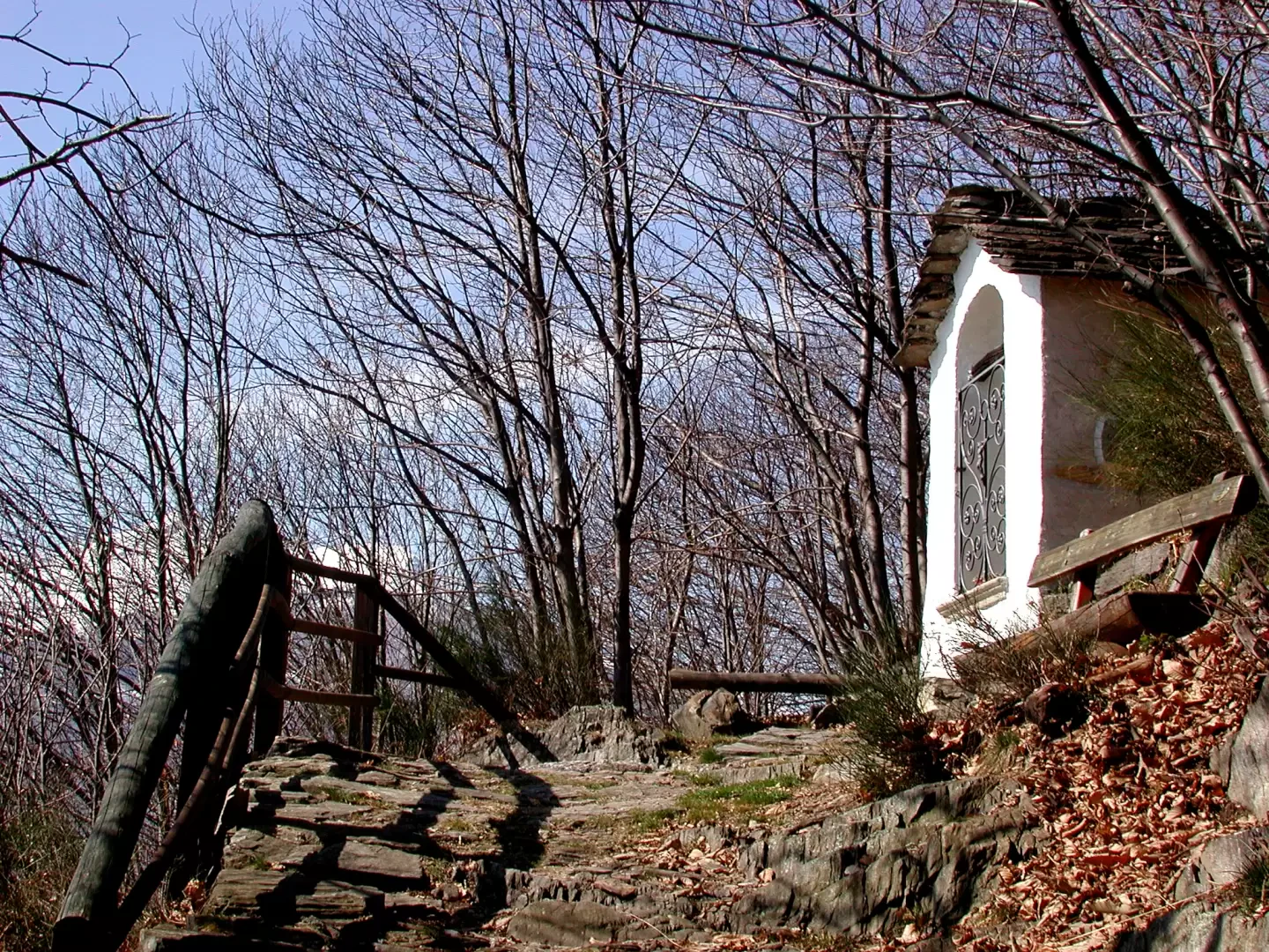
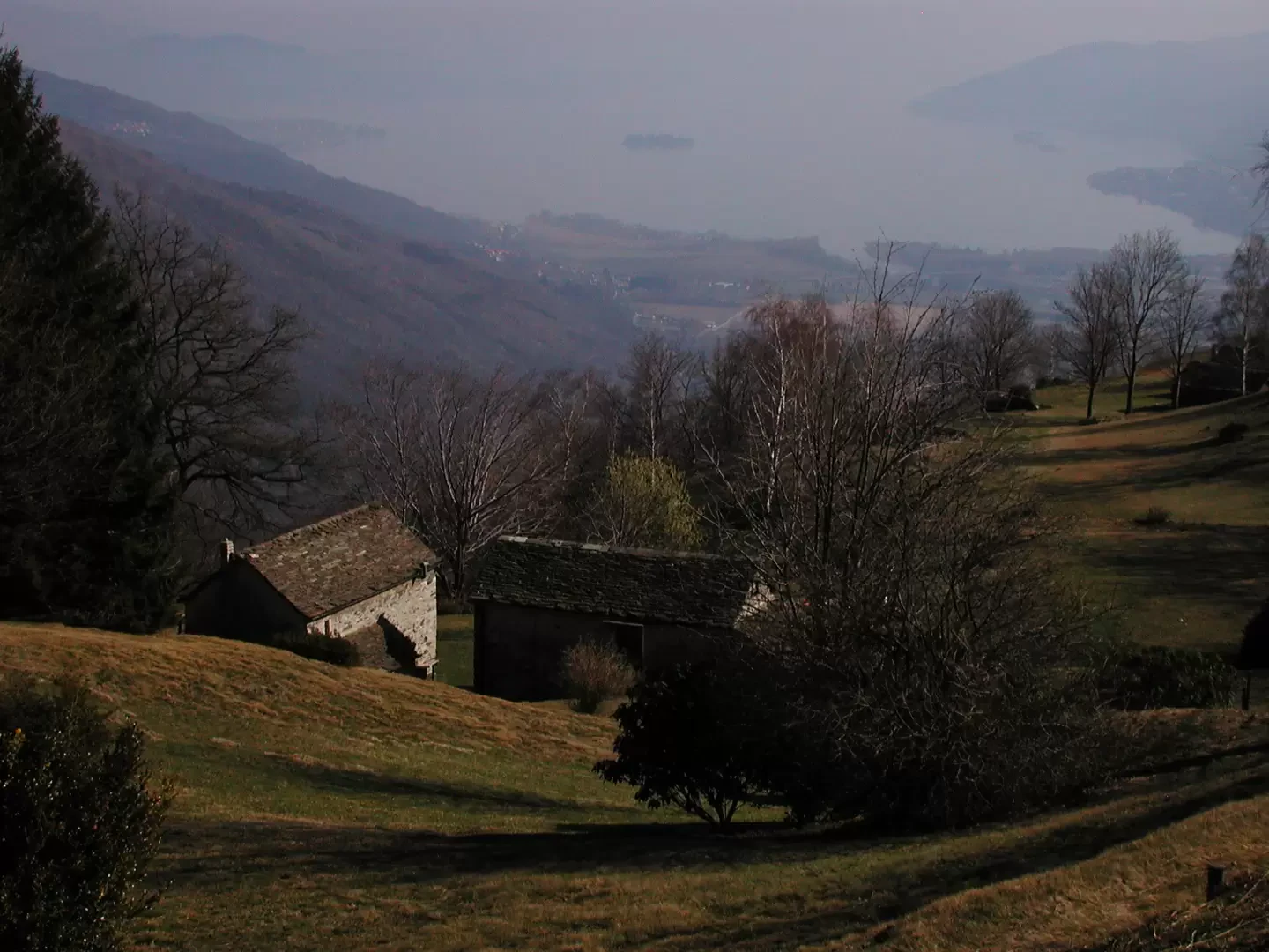
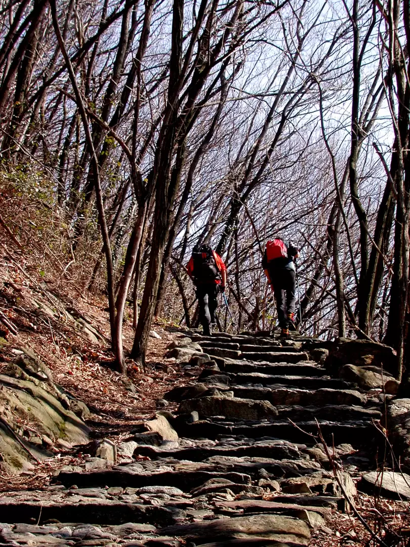
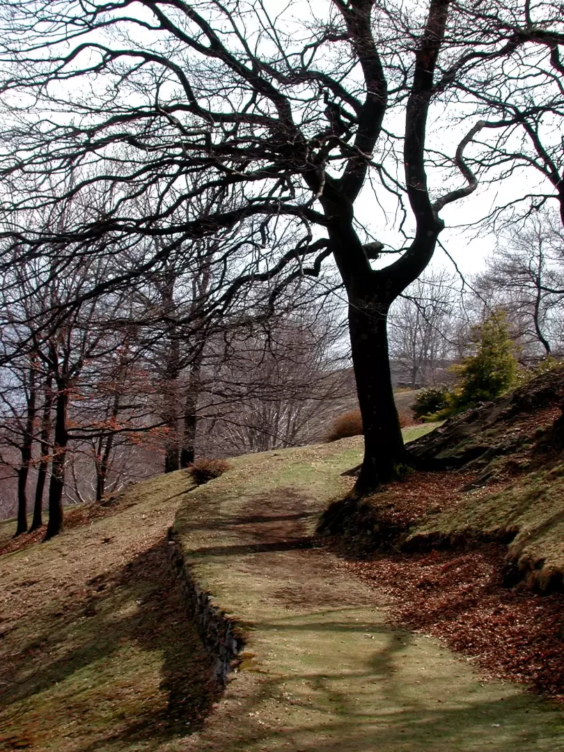
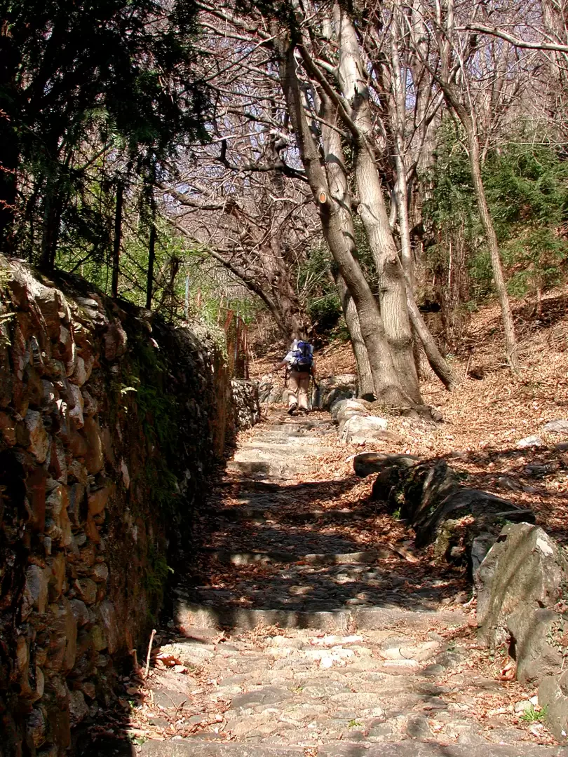
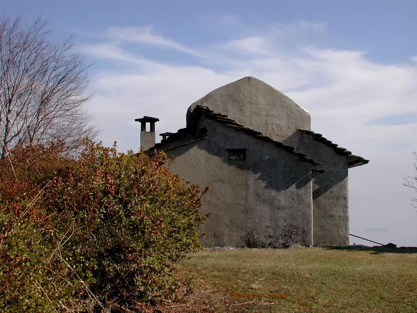
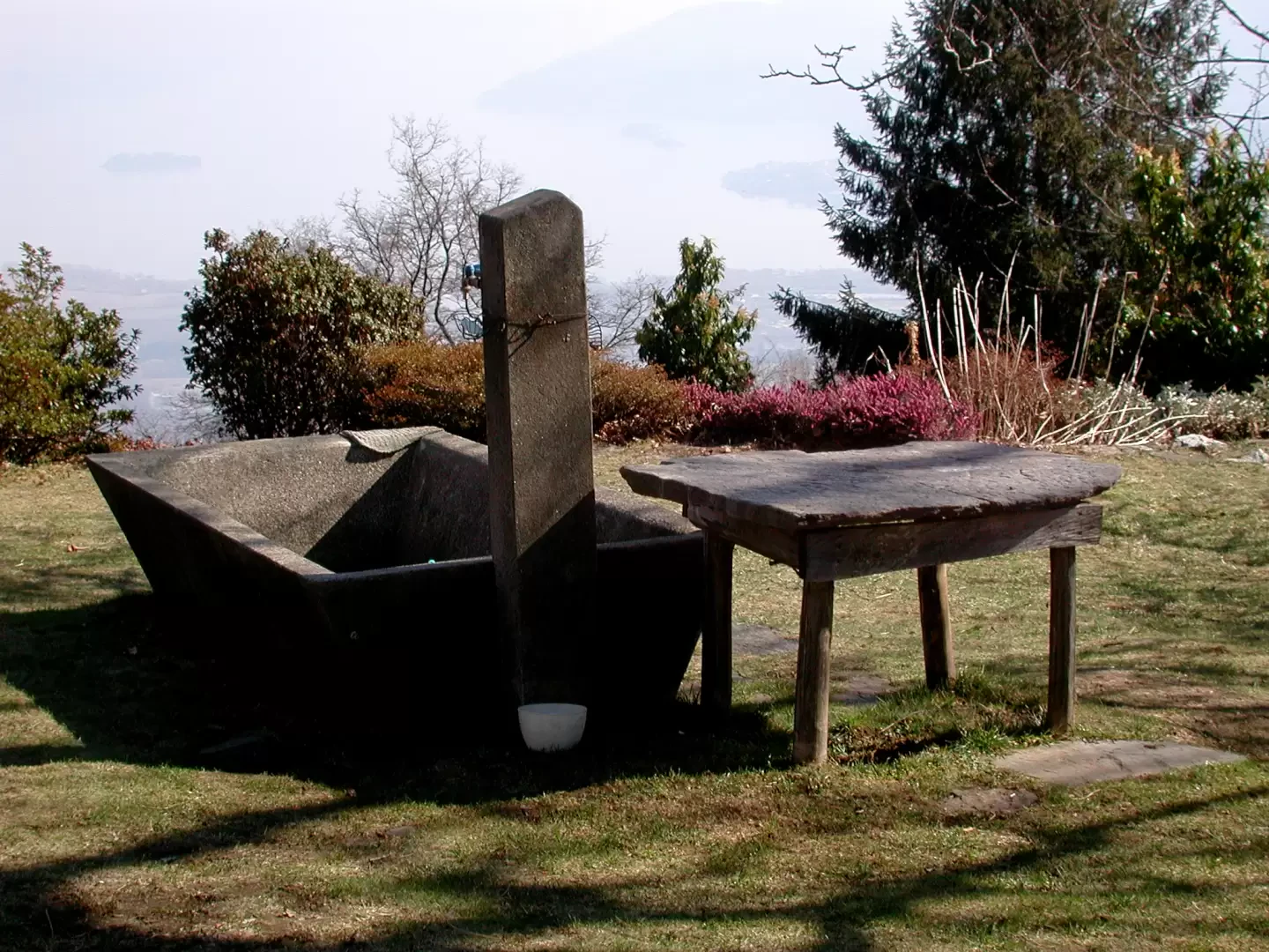
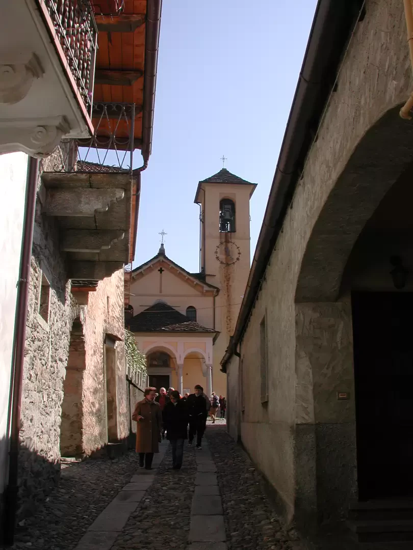
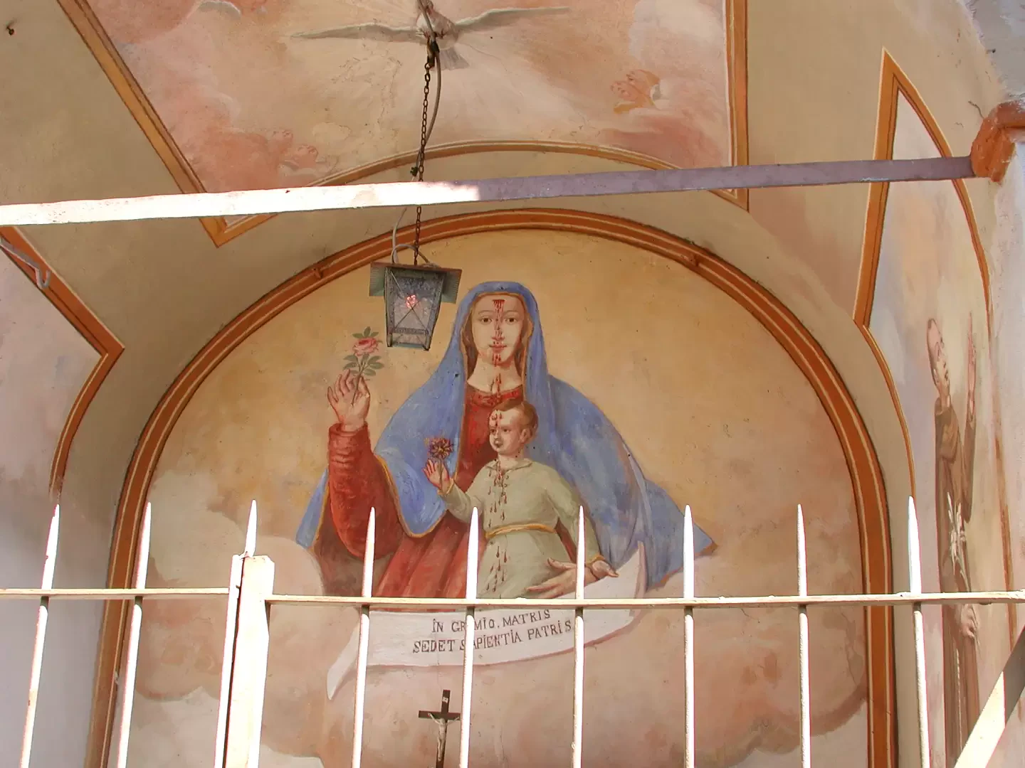
We head up through the cluster of houses (with a fountain on the right), turn right towards the church, and then, to the left of the church, take the beautiful stone mule track that climbs steeply through the beech woods; you can’t go wrong! About halfway along the route there is a lovely chapel, with a bench and a spring nearby. After a few more steep hairpin bends, the path levels out, crosses a couple of small streams, passes close to a mountain pasture undergoing renovation, whilst other mountain pastures come into view amongst the trees, and soon reaches Vercio, a mountain pasture which, incidentally, was bombed by the Germans during the Second World War (1h 20’).
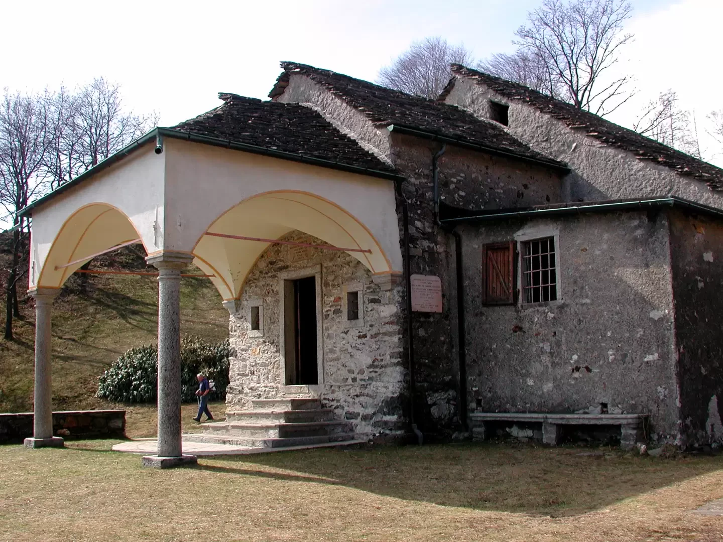
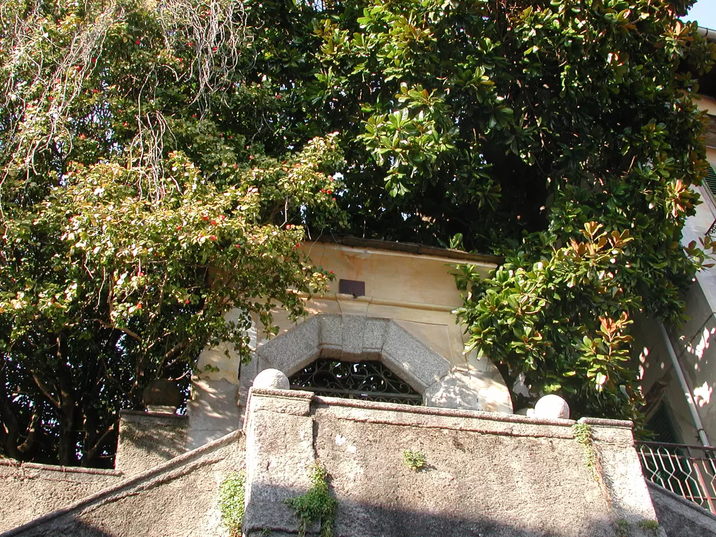
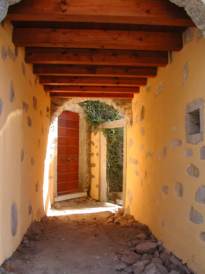
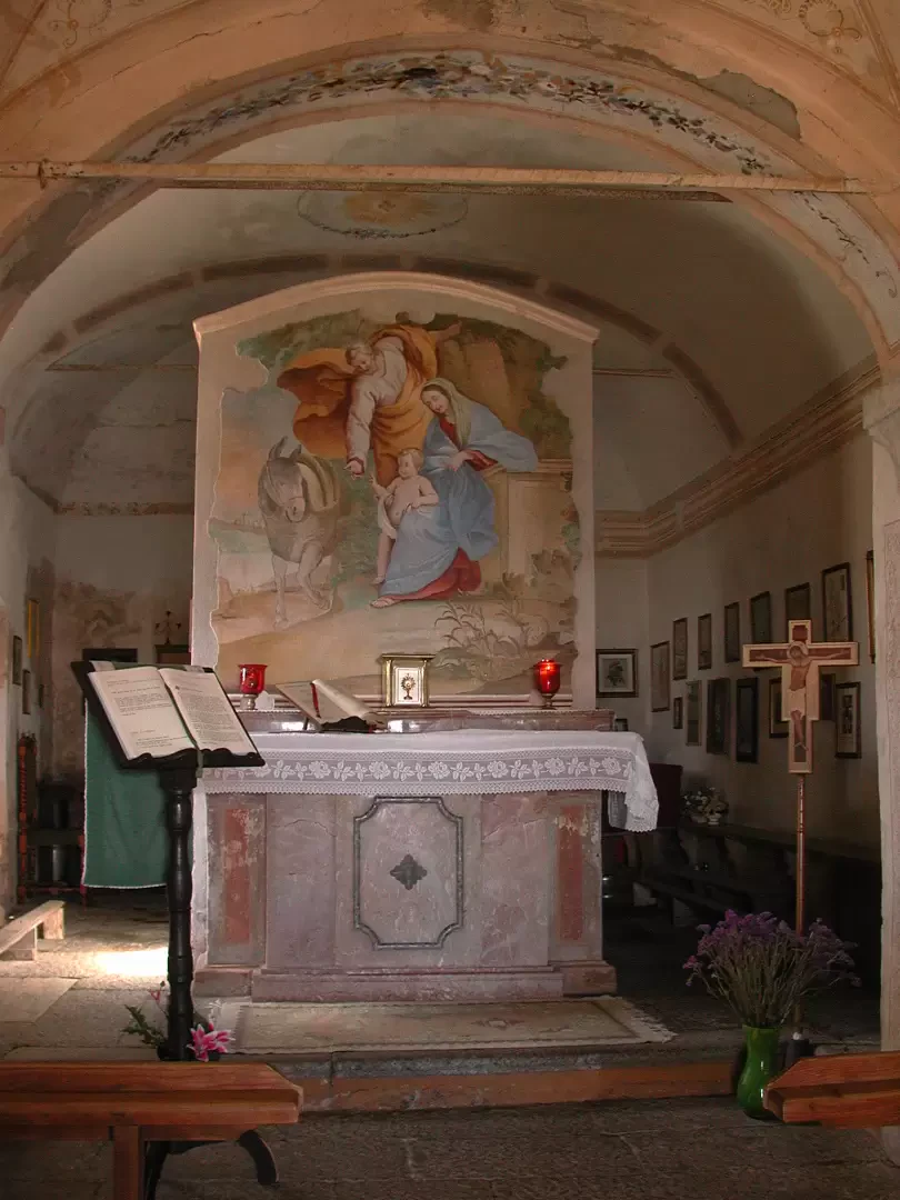
The sanctuary is dedicated to the Virgin Mary, and the feast day is celebrated at the end of July; to the right, above the church, there is a spring and a building that serves as a refuge; surrounded by other mountain huts. Climbing to the summit to the left of the refuge, the view is spectacular, sweeping across the valley floor where the River Toce flows lazily, over the quarry of Candoglia’s pink marble – used for Milan Cathedral – and over the surrounding peaks. Lake Mergozzo and Lake Maggiore are ever-present, and the three islands – Madre, Isola Bella and Isola dei Pescatori – are also clearly visible. For the return journey, we opt for an alternative route – the road – which we join to the west; it descends steeply and enters, then exits, an enclosure that appears to be used for horses. The route is much longer than the mule track, but also very scenic; it takes us about an hour to descend to the plain; At the junctions, keep going straight on until you pass a football pitch; here, you enter the village of Bracchio, passing through the houses until you reach a small square where, to the right, a centuries-old magnolia tree peeks out from a garden; we return to the main road and follow it back to the car. In Bracchio, we met some very friendly people who were happy to have a chat with hikers out ‘exploring’...
Photo gallery
Comments (0)
Sign in to leave a comment